Types of Greenspace Protected
The Greenbelt Plan defines greenbelts as:
Passive greenspace: Trails, greenways, interpretive parks, and access points for water activities, such as fishing, crabbing, boating, etc.,
Active greenspace: Play fields and parks with low environmental impact,
Lowcountry natural resources: Upland forests, swamps, bogs, brackish and freshwater wetlands, Carolina bays, marsh islands, and cypress, backwater, and saltwater marshes,
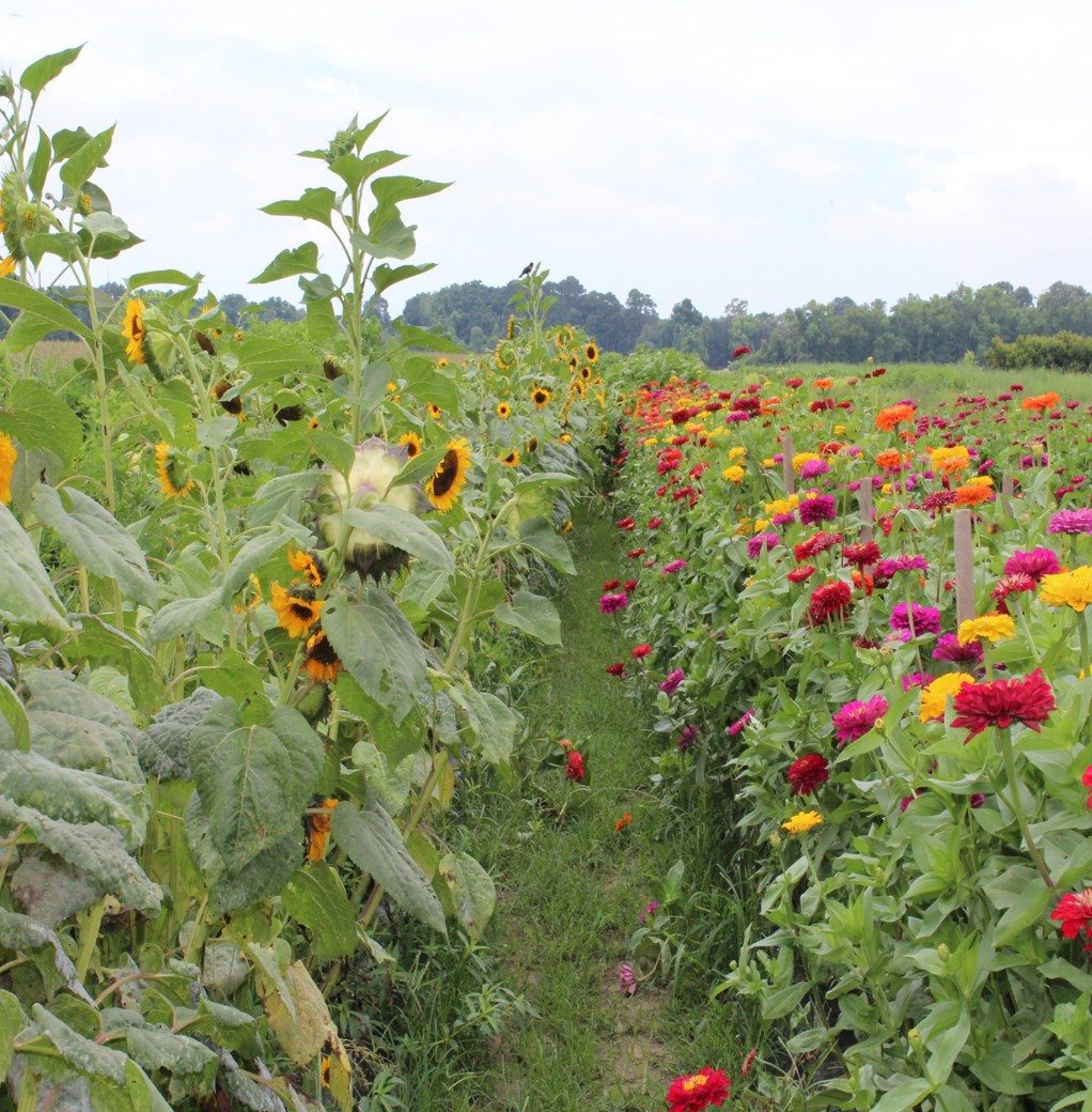
Productive landscapes: Lands used for agriculture, silviculture, and mariculture,
Heritage landscapes: Irreplaceable cultural and historical landscapes unique to the County,
Corridors: Scenic roadways, abandoned rail lines, utility corridors, and scenic waterways,
Natural infrastructure: Floodplains, wildlife habitat, riparian zones, and lands critical to clean water,
Reclaimed greenspace: Brownfields, abandoned sites, and other green infill projects.
These greenbelts collectively form a protected living system of landscapes that serve the residents, businesses, visitors, and future generations of Charleston County by preserving and improving the health and quality of life for all.

